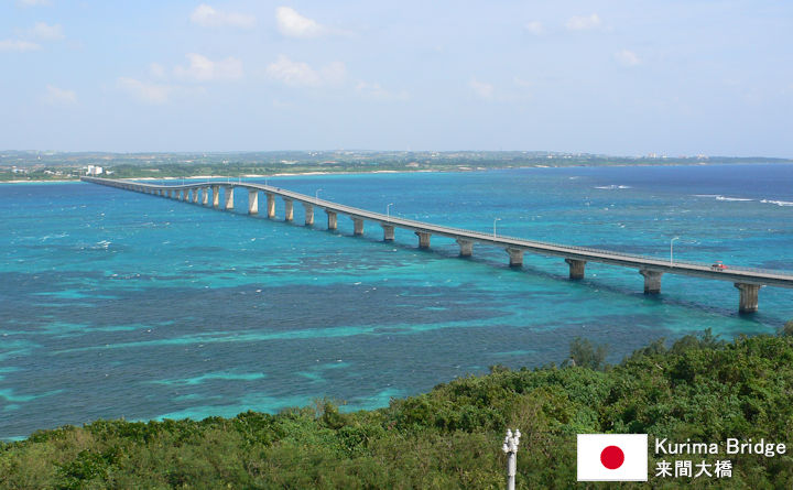
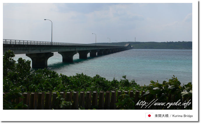
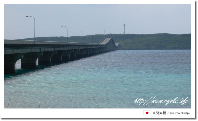
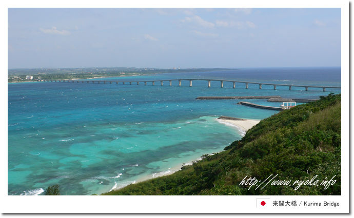
Kurima Ohashi is a long and large bridge that connects Miyakojima and Kurimajima, which is a remote island.
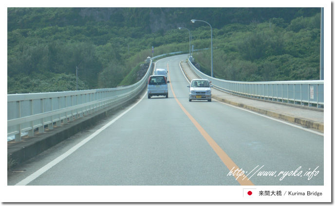
The Kurima Bridge was opened on March 13, 1995 and has a total length of 1690 m. It was originally constructed as a farm road. However, the view from this Kurima Bridge was very nice, and the color of the sea was so beautiful that it quickly became popular as a tourist spot. Especially when you cross the bridge by car, it seems that you are running on the sea, and this area is also one of the most popular. In addition, the appearance of the Kurima Bridge seen from Kurima Island on the opposite bank is as beautiful as a postcard, and many people cross this Kurima Bridge to the observatory on Kurima Island.
From the Miyakojima side, you can see the Kurima Bridge from Yonaha Maehama, one of the most beautiful beaches in Japan, and you can enjoy a different view by combining it with the bridge, not just the beach. .. |