


|
|
|
 |
|||||||||||||
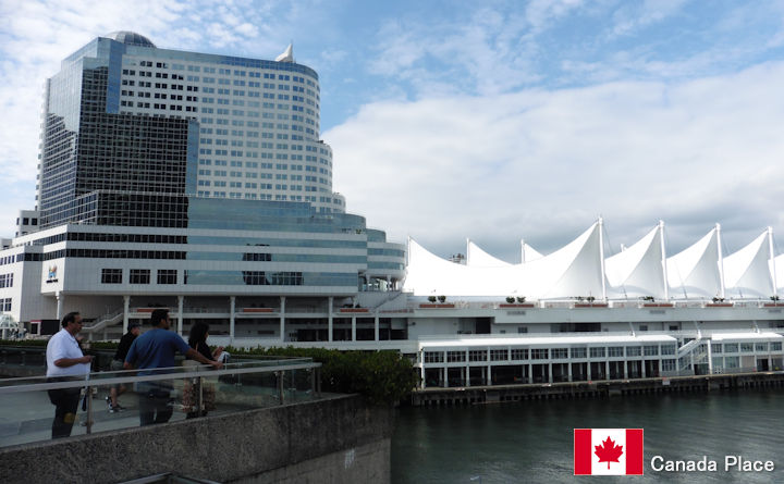
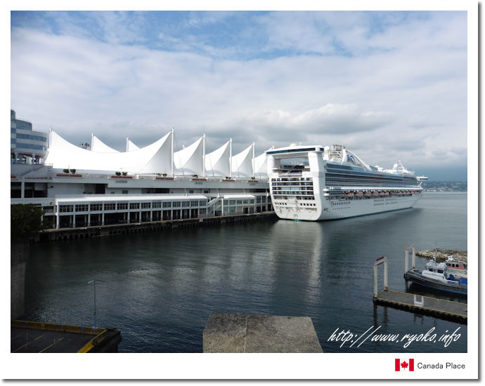
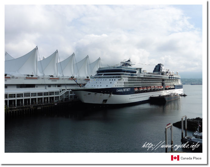
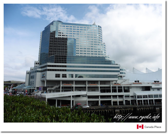
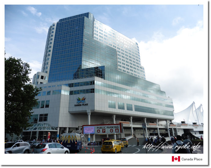
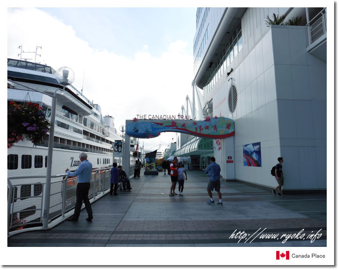
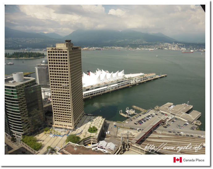
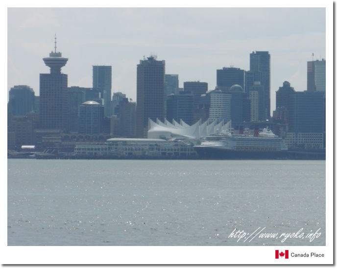
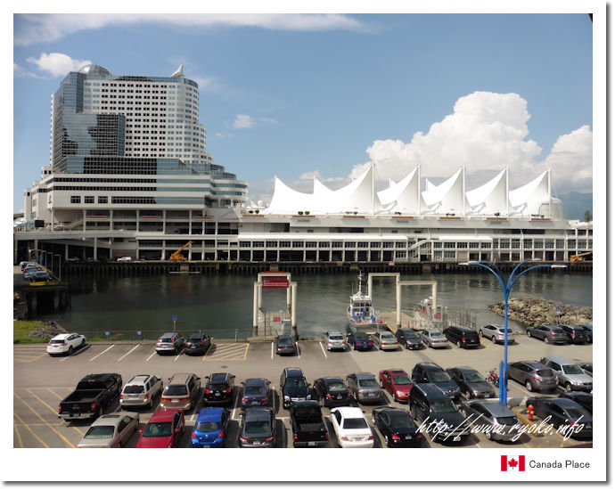
| Canada Place, symbolized by a white wavy roof that resembles the sails of a sailing ship. Canada Place was built as a Canadian pavilion at the Vancouver International Transport Expo held in 1986, and is now used for ferry terminals, convention centers and hotels. Large cruise ships are often moored, and you can also take a walk around Canada Place, so it's nice to see the large cruise ships up close. |
|||||||||||||
 Directions from Waterfront Station Directions from Harbor Center (Lookout)  https://www.canadaplace.ca/ |
|||||||||||||
 |
|||||||||||||
         |
|||||||||||||
 |
|||||||||||||
|
Open Sightseeing Map (Big Map) |
|||||||||||||
|
|||||||||||||
|
|
      |